

From Bandar Banjarmasih to the City of a Thousand Rivers
Banjarmasin is one of the oldest and most important cities on the island of Kalimantan. As the capital of South Kalimantan Province, the city is known not only as a center of government and trade but also as a city that was born and developed from a river-based civilization.
Its history spans more than five centuries, beginning with the establishment of the Banjar Sultanate in the 16th century and continuing into its transformation into a modern city that still preserves its identity as the City of a Thousand Rivers.
In every corner of Banjarmasin, rivers are more than just natural features. They are an integral part of the city's history, culture, economy, and even the way of life of its people.
For this reason, understanding the history of Banjarmasin means understanding how rivers shaped a city that has served as the main gateway to South Kalimantan for centuries.
The Origins of Banjarmasin and the Name Banjarmasih
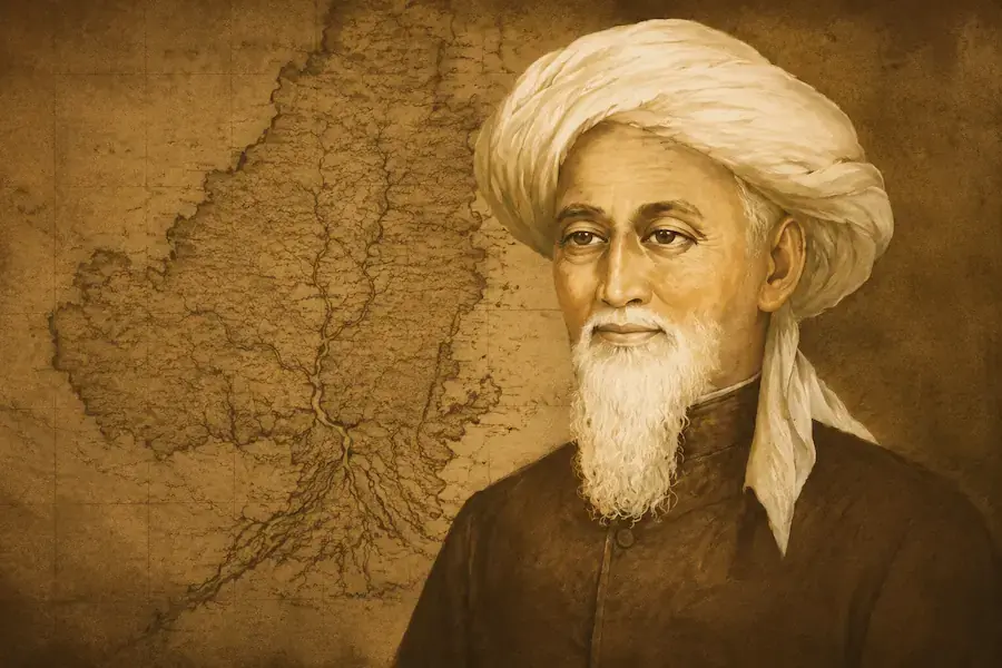
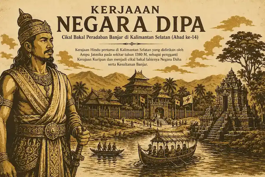
The history of Banjarmasin cannot be separated from the birth of the Banjar Kingdom. In the early 16th century, the area that is now Banjarmasin was an important trading region located near the mouth of major rivers connected to the Java Sea.
The city's original name was Banjarmasih. The name is believed to have originated from the combination of the word bandar, meaning port or trading center, and the name Patih Masih, an influential figure who played an important role in the development of the region.
Over time, the name Banjarmasih gradually evolved into Banjarmasin, the name by which the city is known today.
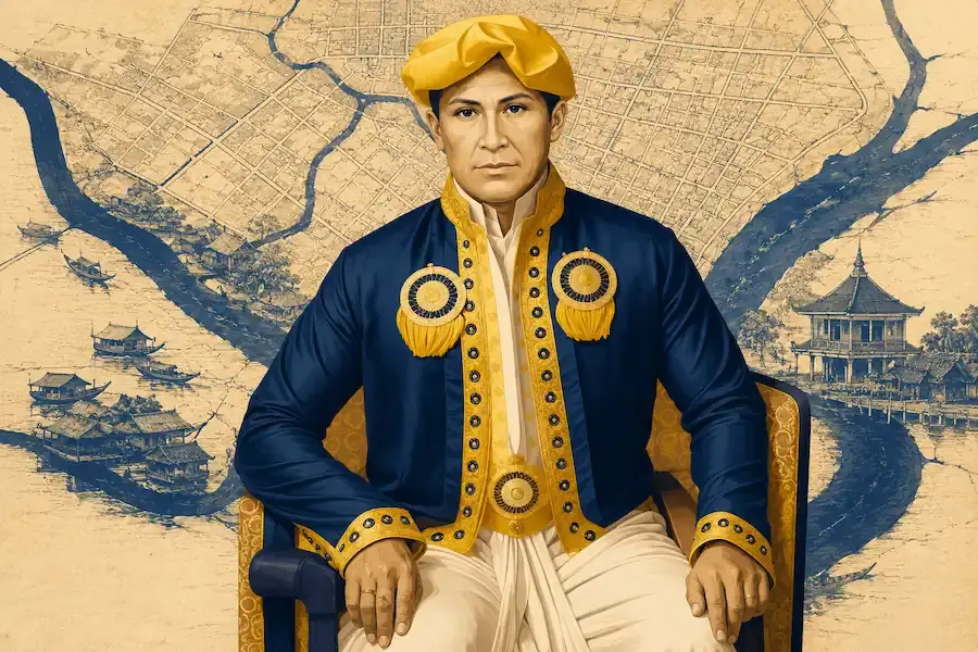
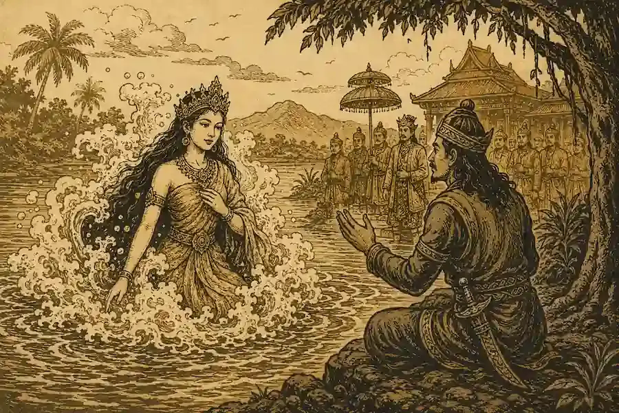
The anniversary of Banjarmasin is officially commemorated on September 24, 1526, marking the victory of Prince Samudera over his uncle, Prince Tumenggung.
After receiving the regalia, or symbols of royal authority, Prince Samudera was crowned Sultan Suriansyah, the first sultan of the Banjar Sultanate.
This event marked the establishment of the Banjar Kingdom and the beginning of Banjarmasin's history as the center of royal administration.
Banjarmasin as the Capital of the Banjar Sultanate
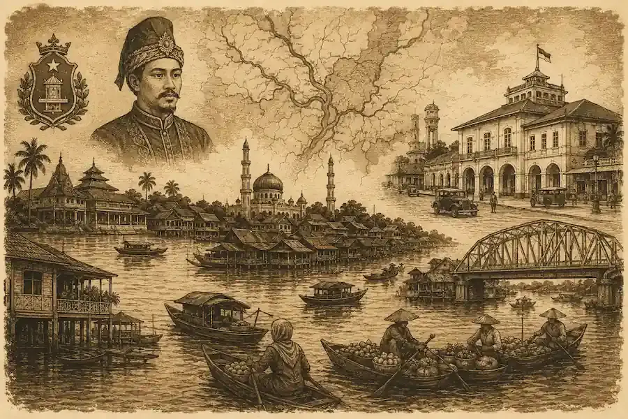
During the early years of the Banjar Sultanate, the center of government was located in the Kuin area, which is now part of North Banjarmasin. From this region, the kingdom grew into one of the most important maritime powers in Kalimantan.
Its strategic location along major trade routes enabled Banjarmasin to develop into a bustling commercial port.
Ships from Java, Sulawesi, Sumatra, Malacca, and various parts of Southeast Asia stopped there to conduct trade. Major commodities included pepper, rattan, timber, resin, forest wax, and a wide range of natural products from the interior regions of Kalimantan.
During this period, rivers served as the primary highways. Nearly all community activities took place on the water. Boats and traditional jukung canoes were the main modes of transportation, connecting villages, markets, ports, and government centers.
As a result, Banjarmasin during the era of the kingdom looked very different from other cities across the Indonesian archipelago. The lives of its people were truly centered around the rivers.
The River Civilization That Shaped the City's Identity
If there is one element that has most significantly influenced the development of Banjarmasin, it is the river.
The city is located in a delta region influenced by two major rivers: the Barito River and the Martapura River. From these two main waterways branch hundreds of smaller rivers, canals, and water channels that form an extensive network of waterways.
The nickname City of a Thousand Rivers originated from these geographical conditions. Although the actual number of rivers does not literally reach one thousand, the Banjar people use the term as a metaphor to describe the countless waterways that divide and shape the city.
Modern data indicates that Banjarmasin has more than one hundred active rivers. Recent surveys have even identified approximately 172 rivers and waterways that still exist within the city limits.
For the Banjar people, rivers are far more than transportation routes. They are centers of economic activity, spaces for social interaction, sources of livelihood, and an essential part of a cultural identity passed down through generations.
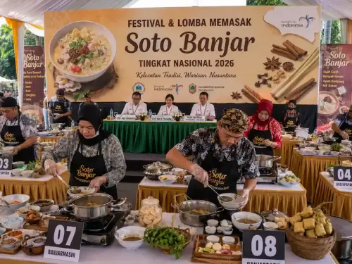
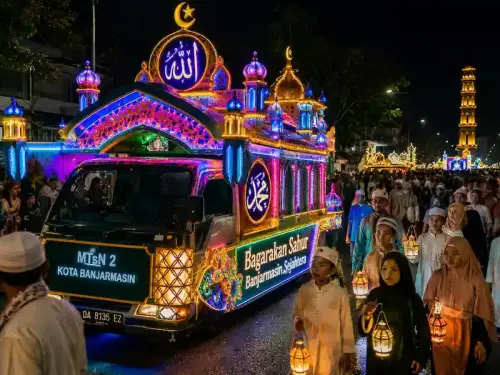
The internationally renowned floating markets are one example of how local communities have utilized rivers as commercial spaces. This tradition has existed for hundreds of years and can still be experienced today.
From a City on the River to a Riverside City
For centuries, Banjarmasin was known as a city built on water. Floating raft houses lined the rivers, while stilt houses were constructed along the riverbanks with their orientation facing the waterways.
Conditions began to change when the Dutch colonial government introduced land-based infrastructure development in the early 20th century.
Previously, rivers were the only major means of connecting villages. However, as roads, bridges, and new residential areas were developed, people gradually shifted toward land transportation.
This transformation significantly altered the city's urban structure. Banjarmasin slowly evolved from a city on the river into a riverside city.
Even so, the connection between the people and the rivers was never completely lost.
Banjarmasin During the Dutch Colonial Era
Dutch colonial influence became increasingly prominent during the 19th century and reached its peak in the early 20th century.
On July 1, 1919, Banjarmasin officially received the status of a Gemeente, or municipality. This designation made Banjarmasin one of the modern cities administered directly by the colonial government.
It was during this period that urban development became more systematically planned. New roads were built to connect communities that had previously been accessible only by river.
The year 1937 marked an important phase when Dutch engineers conducted a comprehensive survey and mapping of the city to support modern infrastructure development.
Various public facilities began to emerge, including hospitals, administrative districts, ice factories, shipyards, and commercial facilities.
A year later, in 1938, Banjarmasin's importance increased further when it was designated as the capital of the Gouvernement Borneo, a large administrative territory that encompassed most of Kalimantan during the colonial period.
This era marked a major transformation from a traditional river-based city into a modern urban center that increasingly relied on land transportation networks.
The Japanese Occupation Period
When Japan occupied Indonesia in 1942, Banjarmasin did not experience major changes in terms of physical development.
Before Japanese forces arrived, many important facilities had already been destroyed by the Dutch under a scorched-earth policy designed to prevent their use by the occupying forces.
As a result, the Japanese occupation period was characterized more by wartime conditions than by urban development.
Banjarmasin After Indonesian Independence
Following Indonesia's independence in 1945, Banjarmasin assumed an increasingly strategic role within the national governmental structure.
Between 1945 and 1956, Banjarmasin served as the capital of Kalimantan Province, which at the time encompassed the entire island of Kalimantan.
When new provinces were established, Banjarmasin became the capital of South Kalimantan Province and has retained that status ever since.
As population growth and economic development accelerated, the city's administrative boundaries continued to evolve.
Whereas only one district existed in the early 1960s, administrative expansion in 1973 created several districts to support more effective governance and public services.
These developments helped Banjarmasin grow into the largest center of government, trade, education, and services in South Kalimantan.
Challenges for the City of a Thousand Rivers in the Modern Era
Although rivers remain Banjarmasin's defining identity, modern urban development has also brought various challenges.
Rapid residential expansion has caused some waterways to narrow or even become covered by buildings. Several tributaries have lost their natural function as water channels.
As a consequence, tidal flooding and waterlogging have become recurring problems faced by residents almost every year. When high tides from the Barito River coincide with heavy rainfall, the drainage system often struggles to handle the volume of incoming water.
In addition, increasingly dense urban development has reduced green open spaces that once served as important water absorption areas.
These conditions have made river conservation one of the key priorities in Banjarmasin's contemporary development agenda.
Reviving River Culture
In recent years, the Banjarmasin City Government has worked to restore the river identity as a central element of the city's character.
Numerous riverside areas have been revitalized through the development of riverwalks, public spaces, city parks, and tourism piers. Floating markets continue to be promoted as cultural icons that reflect the lifestyle of river communities.
The construction of bridges and waterfront developments has also been carried out to balance the needs of a modern city with the preservation of its river heritage.
This approach demonstrates that Banjarmasin does not intend to abandon its historical roots. Instead, the city seeks to integrate modern progress with the river identity that has shaped it for nearly five centuries.
Banjarmasin Today: A Modern City with a River Soul
Today, Banjarmasin serves as the economic, commercial, educational, and governmental center of South Kalimantan. Yet despite its modernization, the character of a river city remains deeply evident.
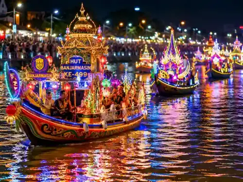
Jukung boats traveling along the Martapura River, riverside trading activities, floating markets, and traditional settlements that still endure all serve as reminders that the history of Banjarmasin has always been intertwined with water.
From a small trading port known as Banjarmasih, to the capital of the Banjar Sultanate, then a modern colonial city, and eventually the administrative center of South Kalimantan, Banjarmasin has undergone a long and unique journey.
Few cities in Indonesia possess a historical, cultural, and social identity so closely connected to their rivers.
That is why the nickname City of a Thousand Rivers is far more than a slogan. It reflects the long history of a city that grew, prospered, and endured thanks to the rivers that have flowed through it for centuries.
